
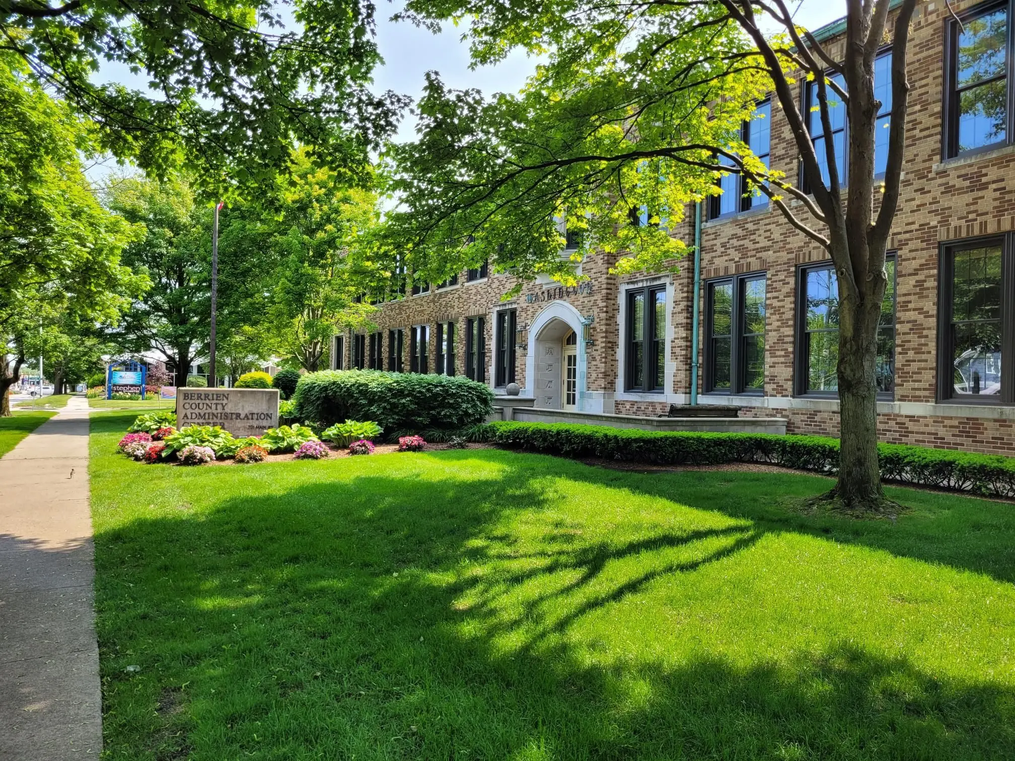
The Berrien County Geographic Information Systems Department has been busy for the past eight months updating its technology.
Speaking to the Berrien County Board of Commissioners this week, GIS Director Erika Espeland said they’ve made great strides modernizing the computer systems to ensure the county has the most accurate land records possible.
“This system is a secure environment for creating and sharing geospatial data built to current industry standards and replaces outdated systems that are no longer supported,” Espeland said.
GIS not only keeps maps of property throughout the county, but Espeland said new tech is also enabling it to work with 911 dispatch so first responders know where to go.
“All these efforts mean faster and more precise emergency response, which can not only just save lives, but also increase efficiency in emergency resources.”
For example, Espeland said they’re now working to map out apartments and mobile home units so when ambulances or police are called to those addresses, they can find who they’re looking for all the faster.
Espeland told commissioners the new tech will help protect property rights and foster community development. One tool she’s found useful is acquiring regular aerial images of the county to keep updated. She added AI is integrated into many of the new systems, but security and ethical concerns created by the technology do mean it has to be approached carefully.