While they are still well above long-term average levels for the most part, Great Lakes water levels thus far in 2021 are tracking below last year’s record marks set in 2020 according to the latest update from the U.S. Army Corps of Engineers who track and forecast water levels as part of their everyday job.
Lakes Michiga, Huron, Superior, St. Clair and Erie all remain well above the long-term average levels, while Lake Ontario recently fell slightly below those long-term average levels.
The February 2021 monthly mean water levels ranged from 7 to 23 inches below levels from this time last year.
Since November of 2020, the Great Lakes basin experienced four consecutive months of below average precipitation. That, combined with a cold air outbreak during February, led to increased evaporation across the lakes and caused a St. Clair River ice jam to develop. When ice jams occur, water levels downstream of the restriction decline, while water levels upstream of the restriction rise.
Detroit District Watershed Hydrology Branch Chief Chris Warren tells us, “Drier conditions this winter aided in seasonal declines on all the lakes, however, as water levels begin their seasonal rise there is still potential for coastal impacts since water levels remain high.”
Late winter and early spring are typical Great Lakes seasonal rise periods because of increased rainfall and runoff. Water levels typically peak in the summer or early fall. Even with lower lake levels some lakes are still well above average and coastal flooding and shoreline erosion are possible, especially during periods of active weather and increased wave action.
The most recent six-month forecast of Great Lakes water levels predicts levels to remain below record high levels, but above average on all lakes, except Lake Ontario. Lake Ontario is forecast to remain near average levels. You can see the forecast at this link:
https://www.lre.usace.army.mil/Missions/Great-Lakes-Information/
Businesses and citizens in the Great Lakes region considering construction projects to alleviate erosion or flooding, may require a Corps of Engineer’s permit as they could impact rivers, streams, wetlands and other aquatic resources.
To find more information about the permit process in your area, visit one of the following:
- Michigan and Northeast Indiana:
https://www.lre.usace.army.mil/Missions/Regulatory-Program-and-Permits/
- Illinois and Northwest Indiana:
https://www.lrc.usace.army.mil/Missions/Regulatory/
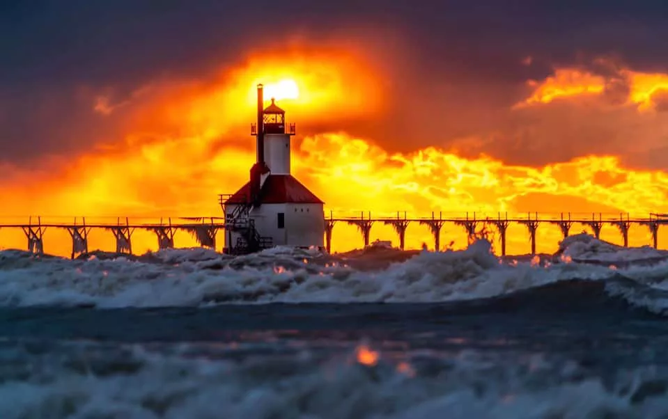
The photo accompanying this story on Moody on the Market is courtesy of award-winning Professional Photographer Molly Pate from Berrien Springs.


